Traditional Crafts
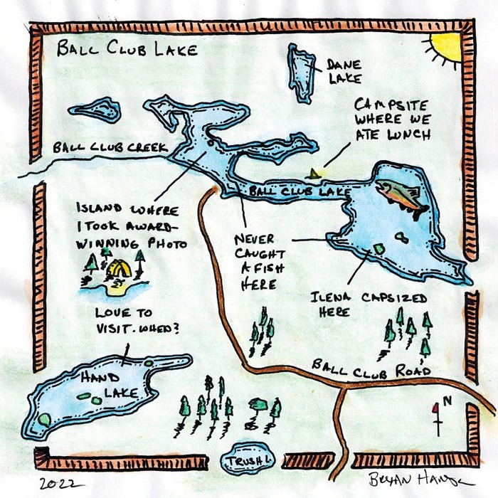
Hand Drawn Maps: Exploring Your Relationship with the Land
Course Overview
In this hands-on class, students will learn how to create their own hand-drawn maps, focusing on the personal connection they have with the land they are mapping. Through a series of exercises and discussions, students will discover how to bring their unique perspective and experiences to their map making, resulting in a final product that is meaningful and representative of their relationship with the land. This course is open to all skill levels as long as you can trace a line. Mapping is for everyone! Please note that this course will take place in November, so be sure to dress appropriately for spending up to an hour or so outside at a time. If we have extra time, we may go outside to map our surroundings in unique ways, such as creating a smell map or a pace map. The class is open to independent students aged 14+. Ages 8-13 are welcome if accompanied by an full-paying adult. They will complete one project together. A 25% tuition discount applies to the youth registrant when registering with a full paying adult; call to register.
Tools that will be provided
- Tracing paper 8.5x11
- Masking tape
- Hot-press watercolor paper for the final project
- Extra white paper
- Rulers
- Scissors
Required Tools
- Number 2 pencil or a mechanical pencil with extra graphite
- Eraser
- Small pencil sharpener
- Fine liner pen or two with black ink (Suggested: Micron 005, 05, 01)
- Colored pencils (at least two shades of green, one blue, one red, one yellow) or a set of watercolor pencils (these are more fun but you’ll need a brush (see below))
- 11x14 to 11x17 piece of clear acrylic used as a lightbox by placing your phone under it or holding it to to the light
Optional Tools
- Watercolor brush and cup if bringing watercolor pencils. I like using a water brush which is a watercolor brush that holds water in the handle.
- Watercolor paints, crayons or other coloring tools
- Fancy yellowed or tan paper with texture to give a final piece a fun look
- Triangle
- Clipboard
- A pair of compasses (drawing compass)
- Lettering guide
- Expanding file organizer is nice to store your map making supplies and completed maps
- Sketchbook
- Laptop or tablet to view maps and aerial photos or satellite images. Install Google Earth if you are going to use it this way.
- Lightbox, such as the LitEnergy A4 LED Copy Board Light Tracing Box or similar and a wall adapter. This is basically a sheet of frosted acrylic with an LED light inside.